Shale-Trail-Five-Sisters-Sunrise-16x9-websized.jpg Shale-Trail-Winchburgh-Canal-Haar.jpg Shale-Trail-Broxburn-Bing-from-East-Calder-2-websized.jpg Shale-Trail-Five-Sisters-Sunrise-Coos-websized.jpg Shale-Trail-Niddry-Golf-Course-Misty-Sunrise-websized.jpg Shale-Trail-Five-Sisters-Sunrise-Sheep-websized.jpg Shale-Trail-Faucheldean-Bing-Arthurs-Seat-websized.jpg
West Lothian's

Shale Trail

The pathway of Scotland’s Oil Rush

Journey through West Lothian's rich cultural, historical and scientific heritage as it regenerates into vibrant new growth.

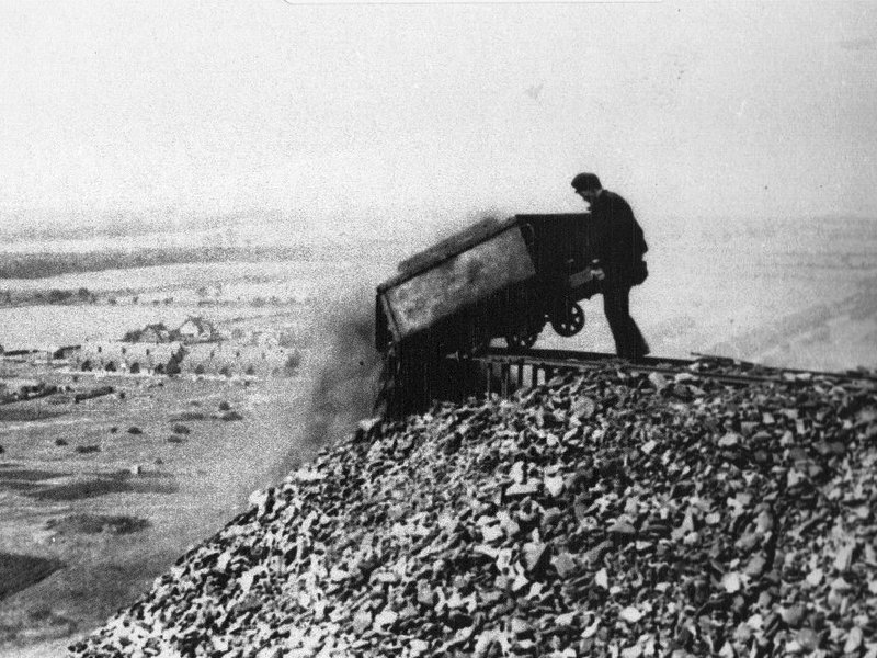
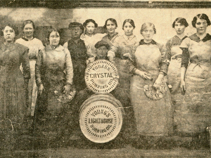
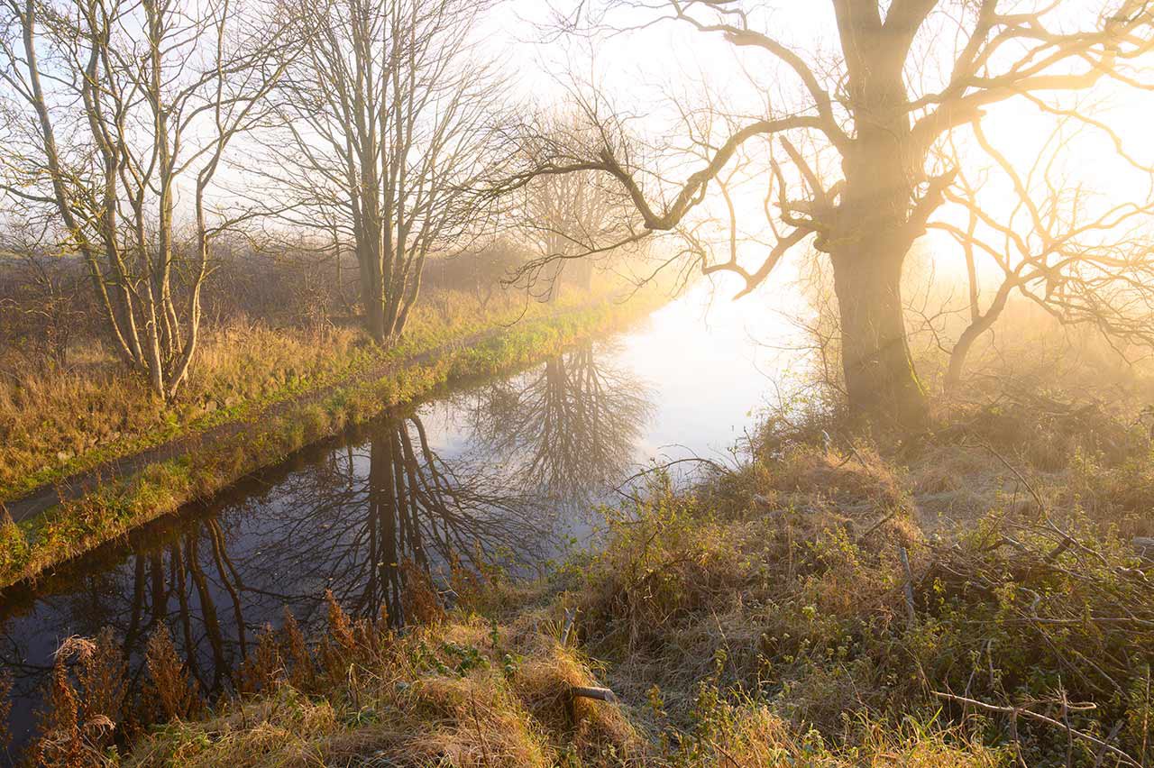
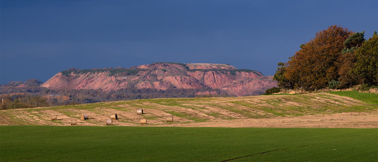
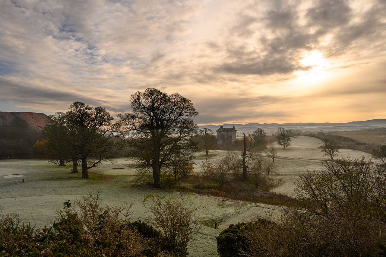
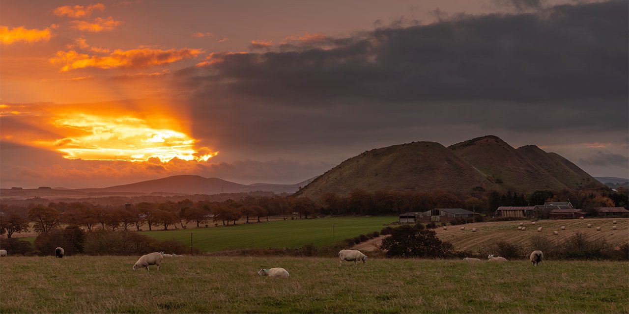
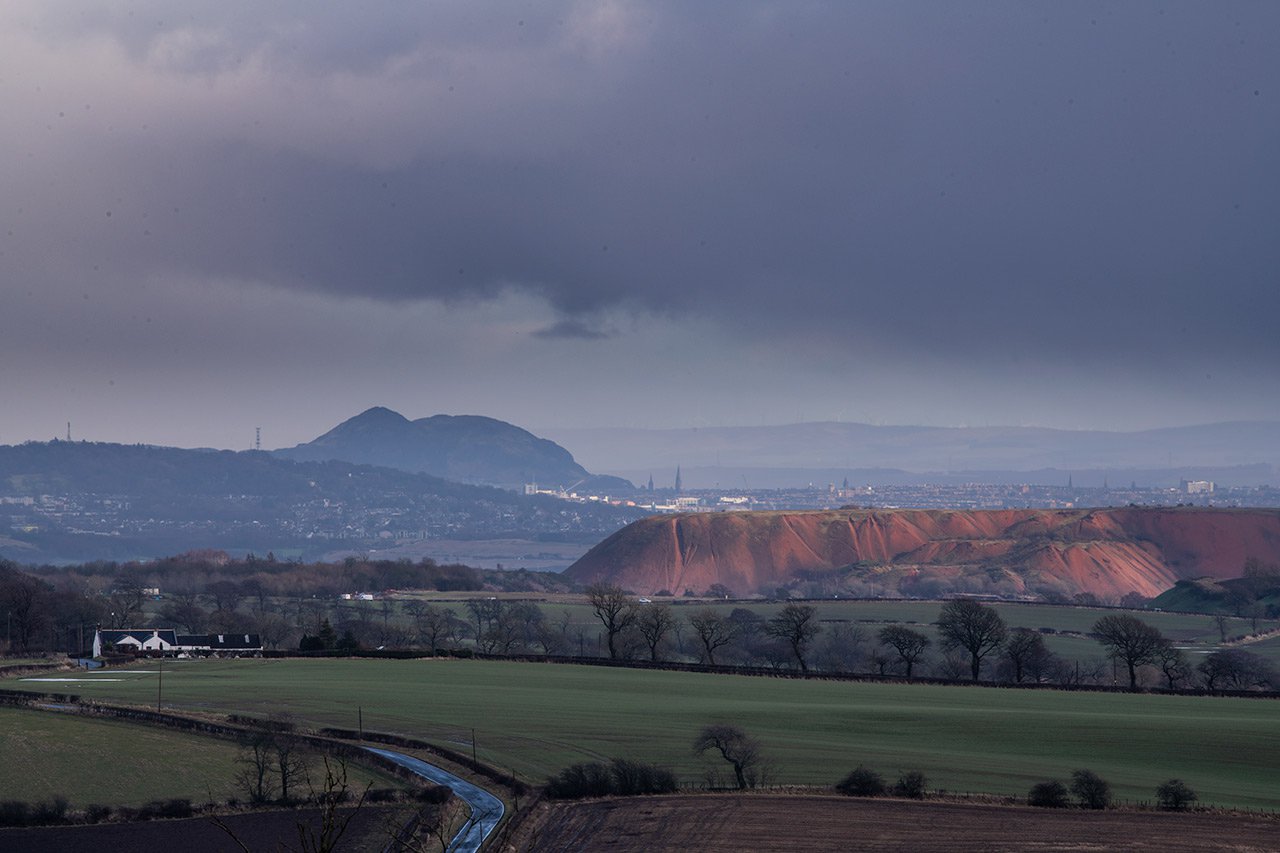
The Shale Trail is a 16 mile walking and cycling route between West Calder and Winchburgh, via the Almond Valley Heritage Centre in Livingston and the Broxburn using the Union Canal.

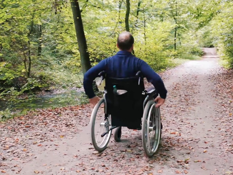
Use your phone to find the Shale Trail and your location on it.

What's Shale?

View

Getting there

View

Shale trail stories

View

Kids shale trail

View

Shale trail map

Kids' Shale trail map

The Shale Trail has been supported by the following:
  • Partner logos (1).dgocx.png
  • av.jpg
  • Partndfer logos (1).docx.jpg
  • Partner logos (1).dggdwocx.png
  • Partner logos (1).doggfcx.png
  • ss.jpg
  • Partner logos (1).do6cx.png
  • Partner logos (1) .docx.png
  • Partner logos (1).docx.png
  • Winchburgh Logo.jpg
  • Partner logos (1).docx.jpg
  • scot.jpg