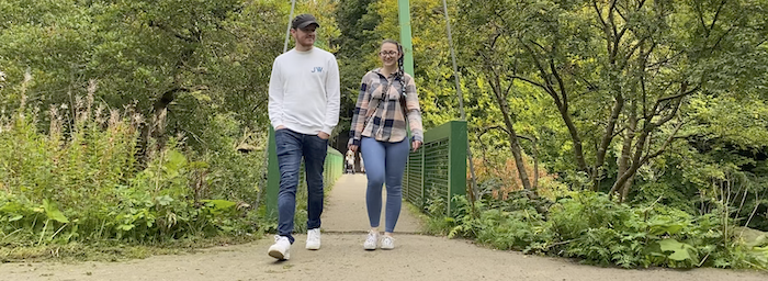
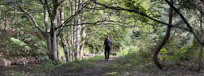
Explore these loops from the Shale Trail using Google Maps. Please note that conditions can vary and paths can become very muddy.
Livingston Loop
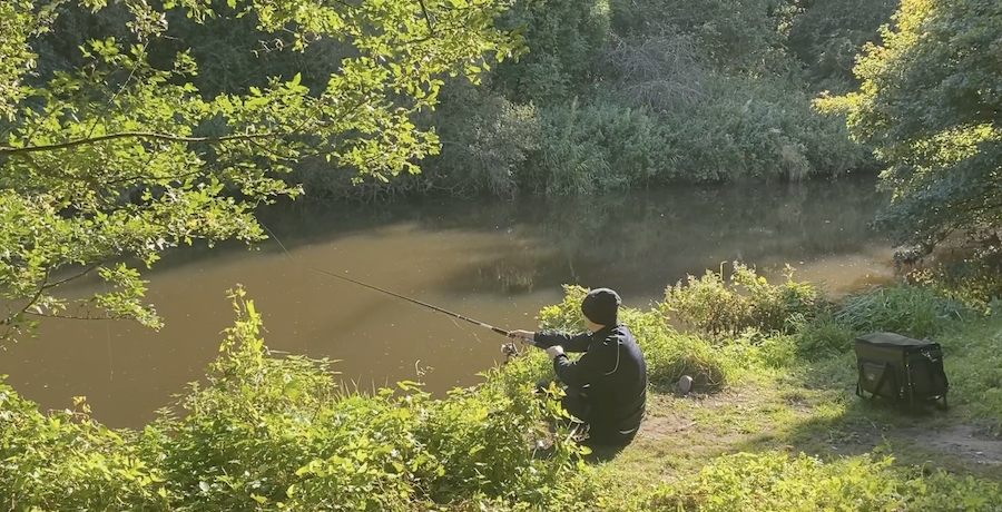
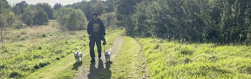
A loop off the main trail between Livingston Village and East Breich Woodlands. This is a level walk taking you through woodlands, meadows and passing allotments before rejoining the Shale Trail.
Length: 8km
Terrain: Generally level easy walking on surfaced paths.
Start: Livingston Village or East Breich Woodlands car park.
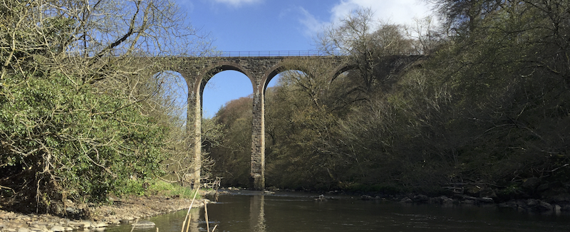
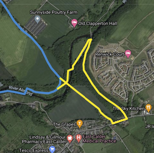
Almondell Viaduct Cycle Loop
This is a short loop for cyclists avoiding a very step section with steps, just at the Almondell Viaduct. The route takes you under the viaduct and into Almondell and Calderwood Country park, loops out towards East Calder and then returns to the Shale Trail by crossing the viaduct.
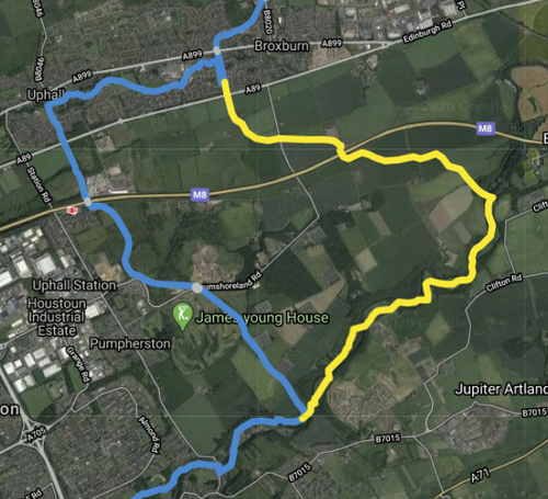
Uphall Station Loop
A loop that continues along the Union Canal from Broxburn, crossing open fields, and joining up with the River Almond and then through Almondell and Calderwood Country Park to rejoin the Shale Trail at Camps Viaduct.
Length: 10 km
Terrain: Level walking on surfaced paths and canal towpath.
Start: Broxburn, Uphall Station or Almondell and Calderwood Country Park.
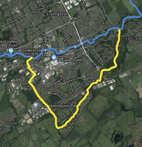
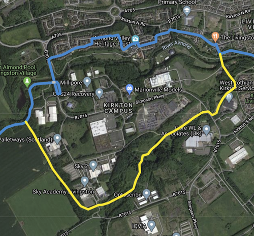
Oakbank loop
An exploration of woodland and greenspace that runs through the south of Livingston, connecting Livingston Village and Mid Calder, in a loop from the Shale Trail.
Length: 12km
Terrain: Mostly on roads and surfaced paths, some muddy unsurfaced paths.
Start: Livingston Village, or Campbridge Park
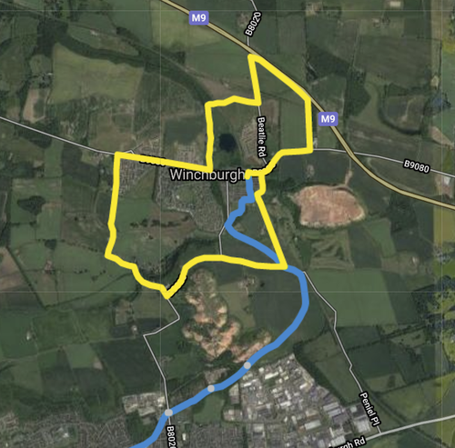
Winchburgh Village Loop
Find Winchburgh Village Loop on Google Maps
Description of the route. Find A round the village walk