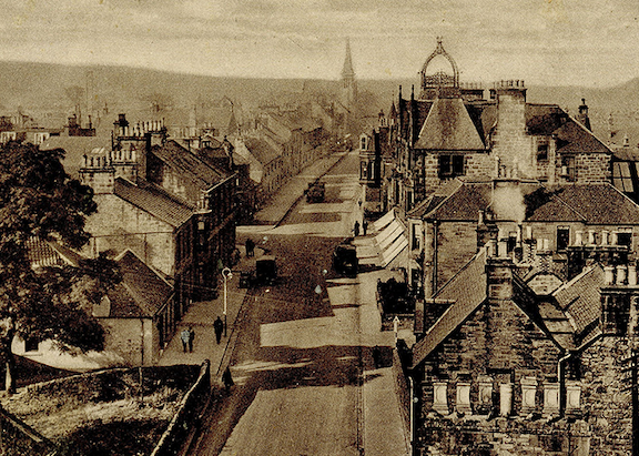
2. Unhappy Happy Land
West Calder View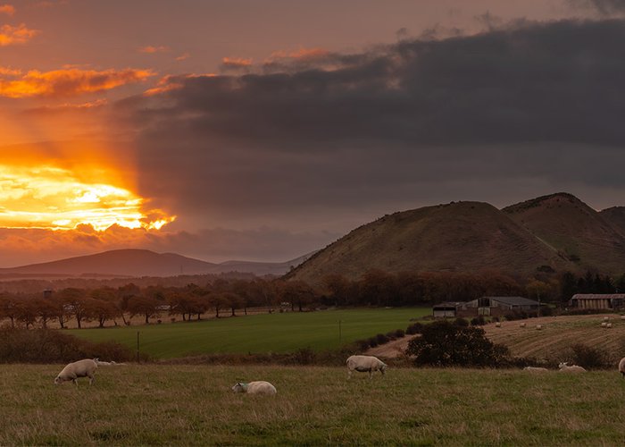
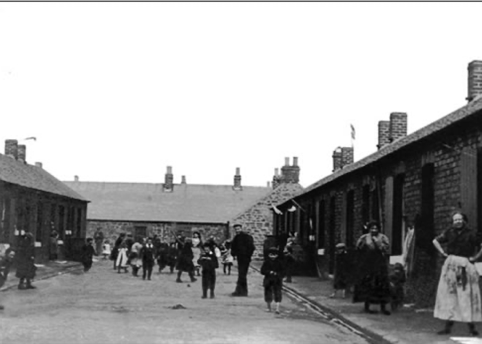
3. There’s a House Under the Bing!
Five Sisters, by West Calder View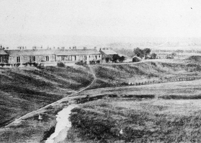
4. For Want of a Toilet...
Mossend and Gavieside, by West Calder View
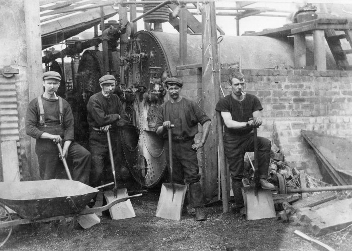
5. Celtic Draw with Mossend Swifts
Mossend, by West Calder View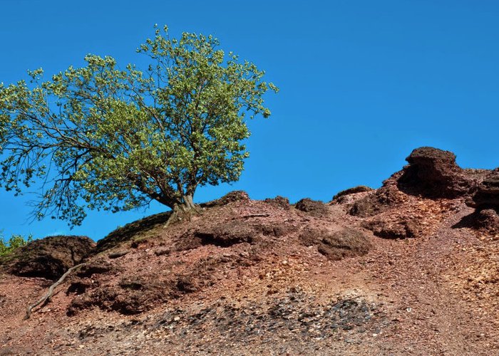
6. What's a Bing Worth?
Five Sisters, by West Calder View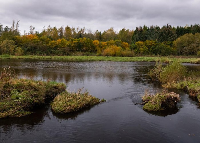
7. Tranquil Pools from Shale Pits
Livingston Ponds, by Livingston View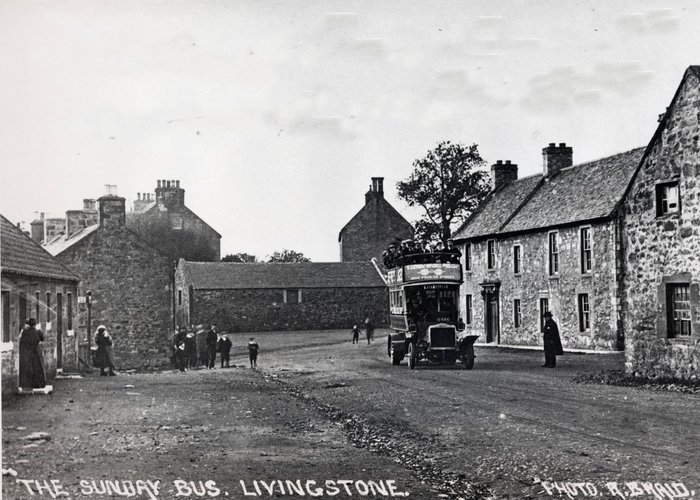
8. Postcards to the Future
Livingston Village View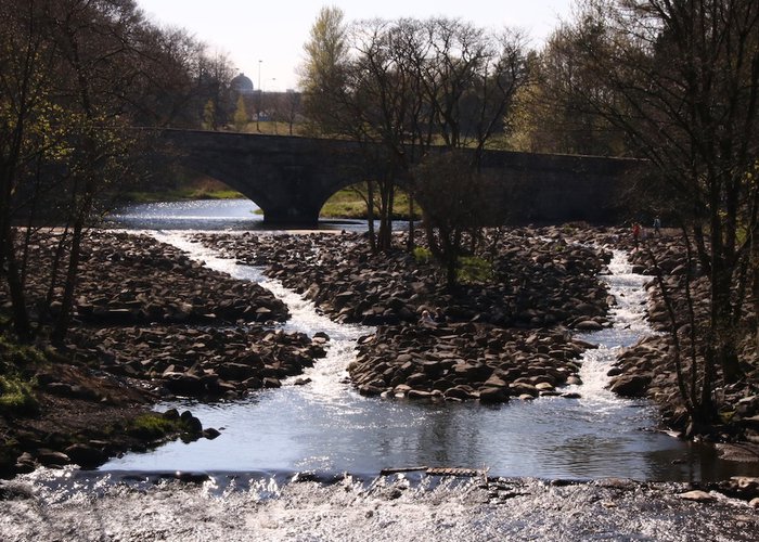
9. A Rocky Road to Recovery
Howden Bridge, Livingston View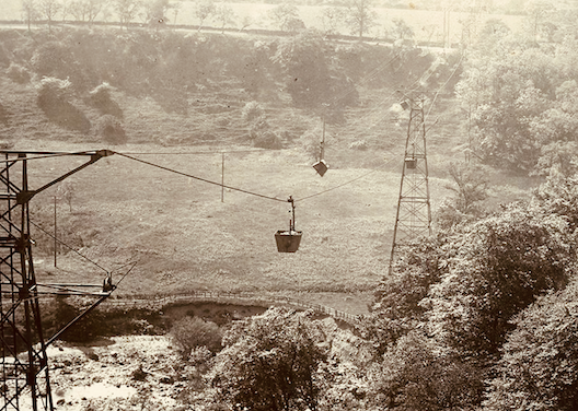
10. A Green Hill Far Away?
Oakbank, by Mid Calder View
11. A Bridge Between Life and Death
Camps Viaduct, by East Calder View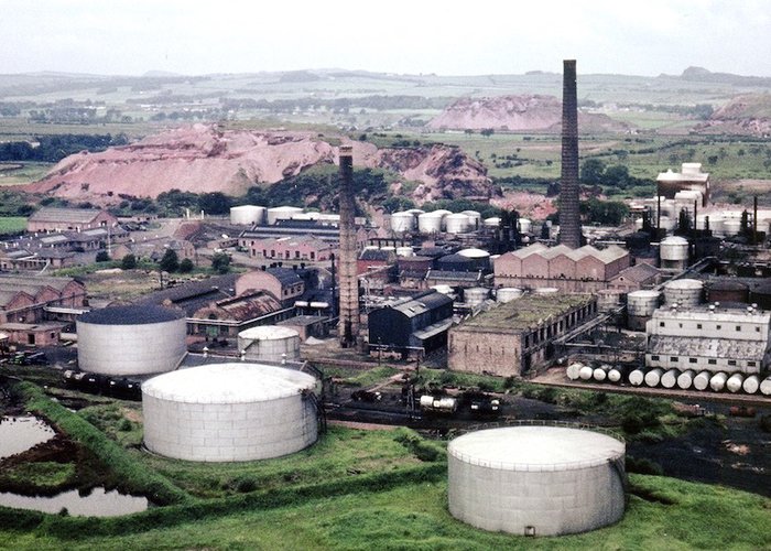
12. The Heart of the Shale Oil Industry
Pumpherston View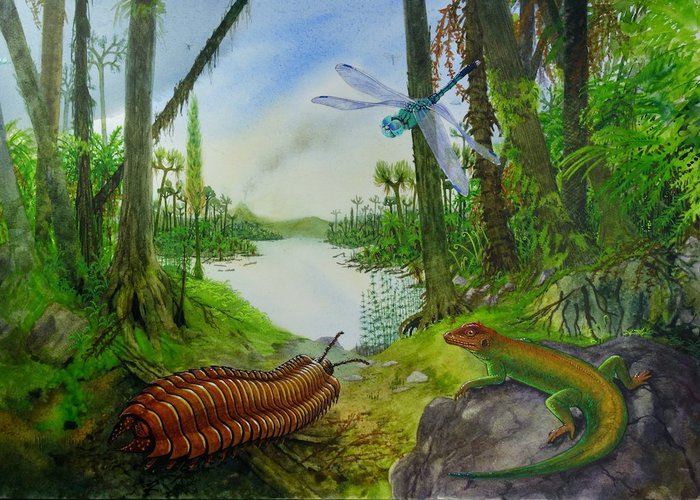
13. A Millipede as Big as My Sister
Pumpherston View
14. Middleton Hall Garden City
Uphall View
15. Oil Boom, Population Boom
Broxburn View
16. Put the Light On?
Broxburn View
17. The Rise and Fall of Shale Tips?
Winchburgh View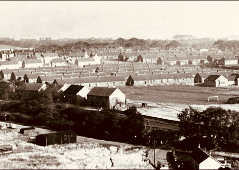
18. Home from Home?
Winchburgh View